D.C. Zoning Map
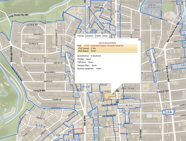
The D.C. Zoning Map is an interactive online map application that provides the public with comprehensive zoning data for Washington, D.C. My core responsibilities as Zoning Data Coordinator at the D.C. Office of Zoning involved making updates to zoning data in ArcGIS, addressing functionality issues, and managing the overall accuracy and functionality of GIS-based zoning data and the zoning map application itself. In my time at the Office of Zoning, I successfully implemented new data layers into the application, diagnosed errors and glitches affecting the map, and worked with members of the public to answer questions and provide project support related to data in the map.
To view the D.C. Zoning Map application, click here